Fieldwork: Photogrammetry & Laser Scanning
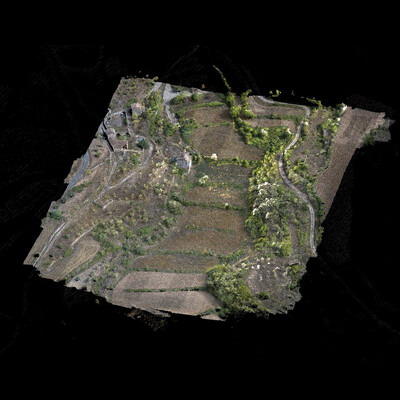
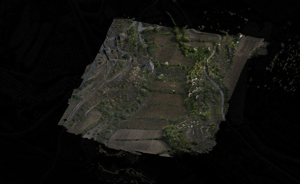
The Institut Cartogràfic i Geològic de Catalunya (ICGC) provides contour lines with a resolution of 1m, but we found that this information was not sufficiently precise to develop the design of the Gardens. In order to have a more fine-grained survey of the extensive garden areas, the team worked with Landskip who used drones to conduct systematic phogrammetry flights. This resulted in precise orthophotos as well as color-coded point cloud data of the vegetation cover. This was an experiment in a new technology for landscape surveying, and complemented the on-the-ground fieldwork conducted by the team. The point cloud data, while precise, did not reveal significantly more information about the shape of the ground, since the majority of the points hit the vegetation instead of the ground itself. This is a challenge in Mediterranean climates since many plants are evergreen, which means that there is not a moment when the leaves drop and the drones are able to scan the ground surface. The 3D point-cloud information provided useful information regarding the state of the forest, and registered a clear differentiation between the Pinus halapensis and the Quercus spp. as well as the size of the trees. This was especially clear for the pine trees. The oaks were more difficult to define due to their growth habit: they often grow in tight groups, sometimes with several trunks emerging from the same base, which illustrates the limitations of aerial scanning.
To complement the drone scans, Landskip also conducted terrestrial laser scans using a FARO X330 HDR. Rather than flying above the canopy, the machine scans the area from the ground. These scans are very precise, up to ±2mm, and provide an inverse view from the drone scans. In this data, the trunks of each tree are very clear, whereas the canopy is not. Whereas the drone scans are extensive, the terrestrial scanner is intensive, requiring time and labor to move it from place to place. As a result, we only scanned the 10x20m test plots in each garden.
The team is still processing the data from the scans in collaboration with Landskip to determine the best ways to incorporate the precise information with the other fieldwork methods. So far, we have used the aerial drone scans to identify the locations of the remaining trees and stumps following the logging operation in order to design the layout of the parcels for the horses. This allowed the design to respond to the specific conditions of the forest. Additionally, the more precise topographic information has been helpful in determining access routes for the tractor.


