
The Gardens: Dona Morta Dalt

The Garden of Dona Morta Dalt is located next to a public road north of Senan. The road follows a ridge, and the site slopes gently, then suddenly towards the southwest. An overgrown path continues downslope and connects this site to the Garden of Dona Morta Baix. The location on the ridge and the proximity to town make this a beautiful place to catch the last of the light before descending to Senan. Although we assume that this land was farmed at one point, there is no evidence of the dry-laid stone walls that mark other previously agricultural land. Aerial photographs taken 1946 by American planes, which provide the earliest photographic evidence of land uses, show the site covered with forest, even though the surrounding farmland was more extensive.


Images by Julian Rickenbacher, used under CC 4.0
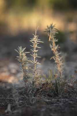
Based on fieldwork and research, the soils can be described as a forest soil with high content of organic matter on the ground as well as in the ground. The soil is covered with an organic horizon of almost 10 cm with a total depth of only 50 cm. It thus shows patches of rocks coming from the bedrock as well as patches of bare soil and deadwood. This corresponds to the Morull soil described by the ICGC. The canopy consists of a forest of Pinus halapensis that was selectively logged in 2020. The form of the pine trees, specifically the narrow diameter of the canopies and lack of lower branches, indicate that they grew in a forest that was much denser than today. Along with the pine canopy, we recorded Quercus spp. and shrubs as a second strata. Extensive patches of the low spreading oak, Quercus coccifera, cover the ground in a near monoculture, especially on the steeper slopes. This plant is very successful below the pine canopy and can form dense colonies that make it difficult for other species to grow.
Each garden contains a 10x20m test plot that is monitored closely prior, during and after the intervention in order to document changes to the soil and vegetation. The test plot is situated in an area typical of the site, on a flat area with a pines and patches of bare ground. This page contains more information about the test plot and the vegetation survey.
As in the other sites, the logging of the pines generated piles of extra wood and small branches left onsite by the logging company. Two local craftspeople worked the abandoned material into an intricate fence that encloses and marks the Jardinet facing the public road. The reminder of the site is divided into evenly sized plots, each of which will support the herd of horses for a single day. The distribution of plots follows the sloping topography and the two access roads, one public, one private. The plots on the public road share an entrance in order to limit openings in the perimeter fence. The remaining plots face an interior access road leading downslope. Due to the occasionally steep slopes, certain areas are fenced to limit access to horses, and these zones will become Islands.


Images showing the existing condition of the Garden. The first image shows the stakes of the test plot. The third image shows the pile of wood that was left on site and then incorporated into the fences for the Jardinet, Chair of Being Alive


